
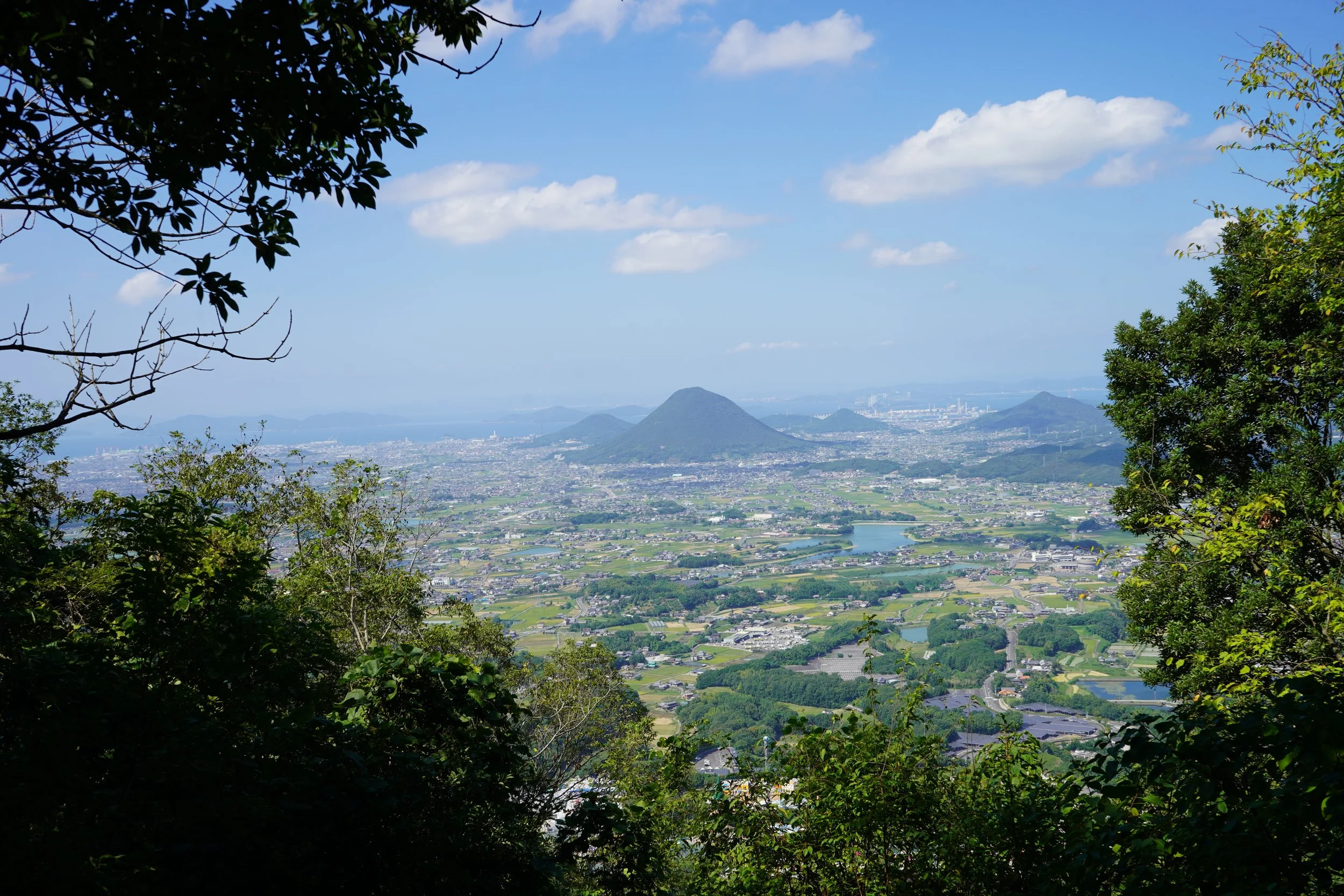
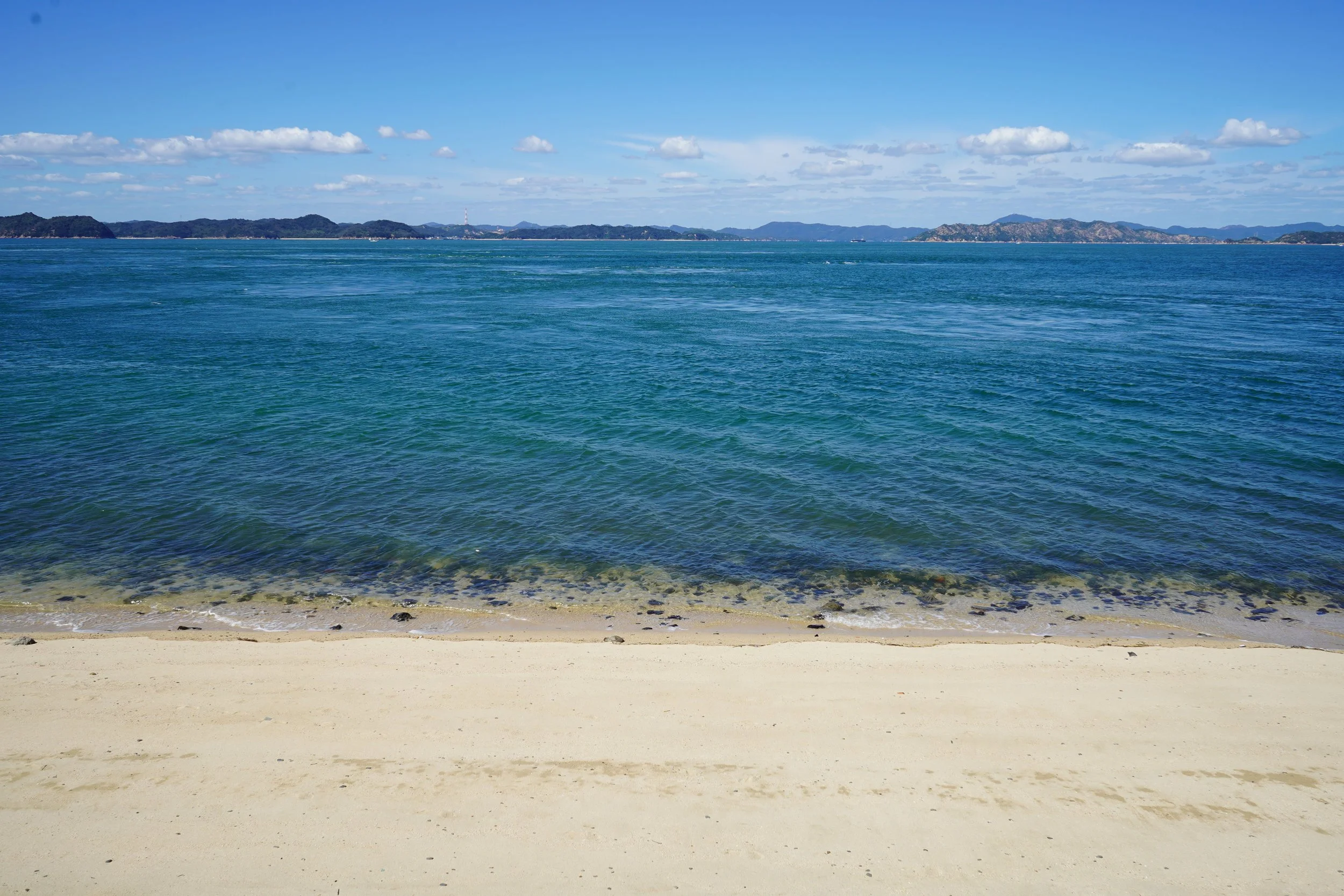
“Little mountains, big feelings.”
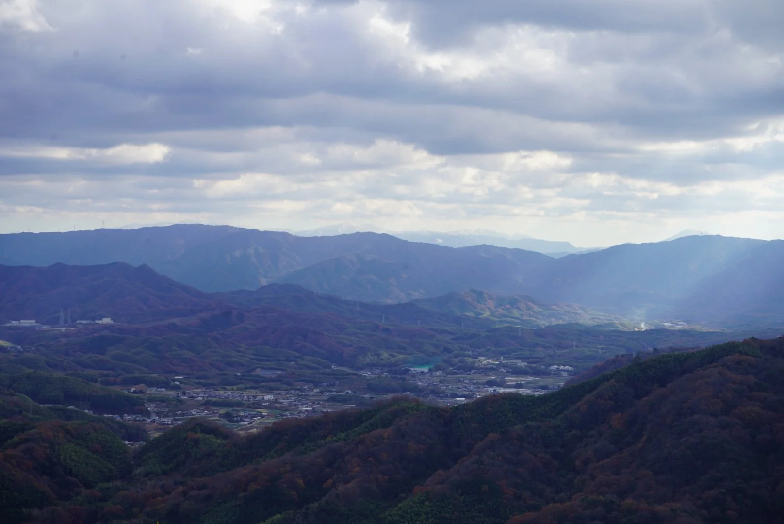
At 1,876 km2, Kagawa is Japan’s smallest prefecture. Located in the northeastern part of Shikoku Island, it makes up only 10% of the island’s area. It is surrounded by the Seto Inland Sea to the north and west, and has 24 inhabited islands and almost 100 uninhabited ones. The Sanuki Mountains run east to west across the southern part of the prefecture, border Tokushima prefecture, and stretch about 100 km. The highest peak is Ryuo Mountain at 1,059 metres. Wherever you are in Kagawa, a mountain is nearby, making it a great place for a short walk or a long hike.
The climate is generally dry and warm. In spring, cherry blossoms dot the mountains, and the temperature is comfortable. Summer starts early these days and can be very hot and humid from late May till September. Air conditioning is essential in most situations, and hiking is most enjoyable at higher altitudes and early mornings. The rainy season hits in June, and the typhoon season comes after that till October, but it’s rare for a typhoon to make landfall on Shikoku. Autumn is warm and is seen on the mountains from September and at lower altitudes from mid-to-late October. Winters are dry and cold, but the temperature rarely drops below zero.
Nature can be enjoyed all year round with the right locations and preparation in mind!
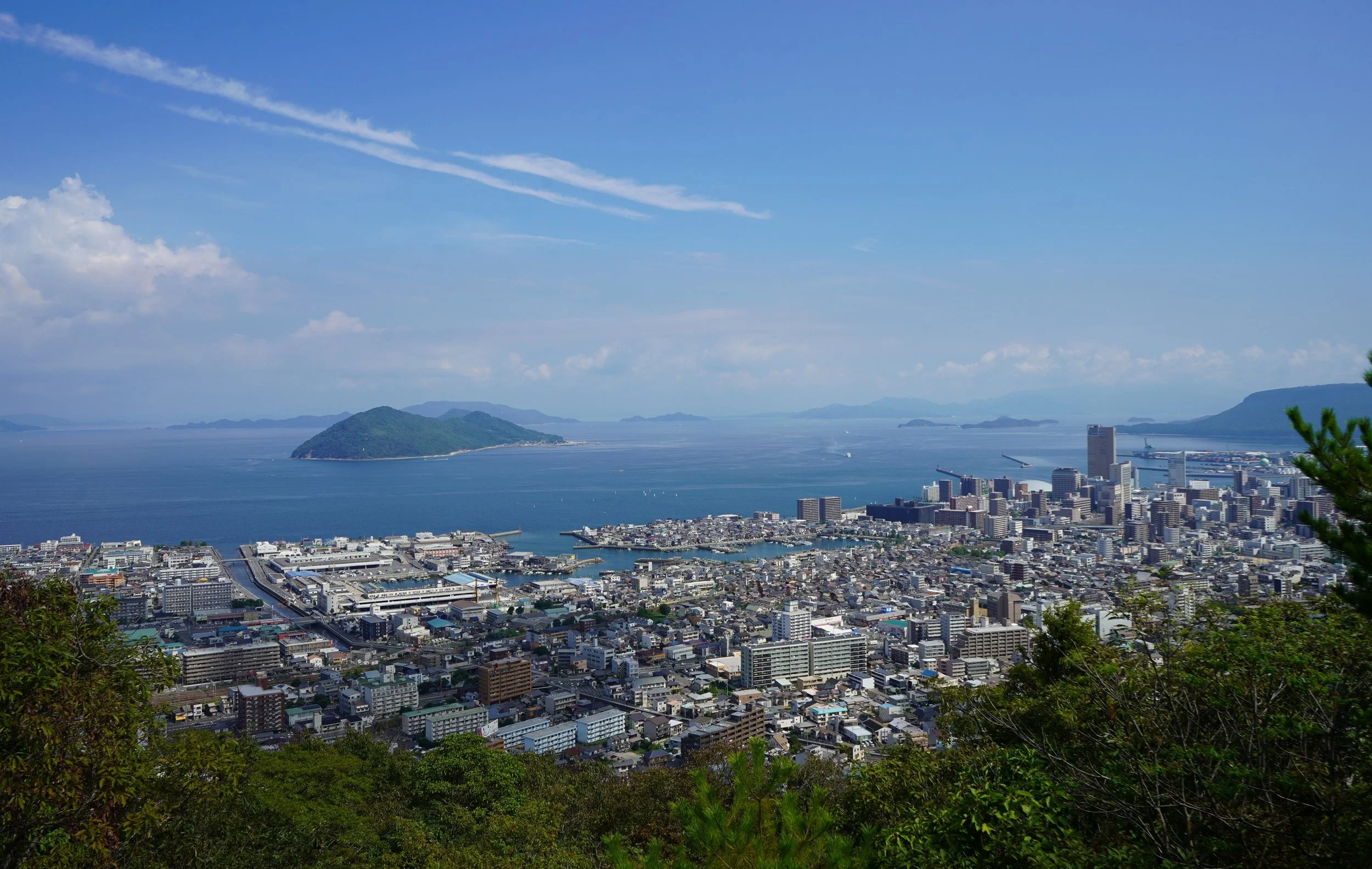
Takamatsu City and the Seto Inland Sea
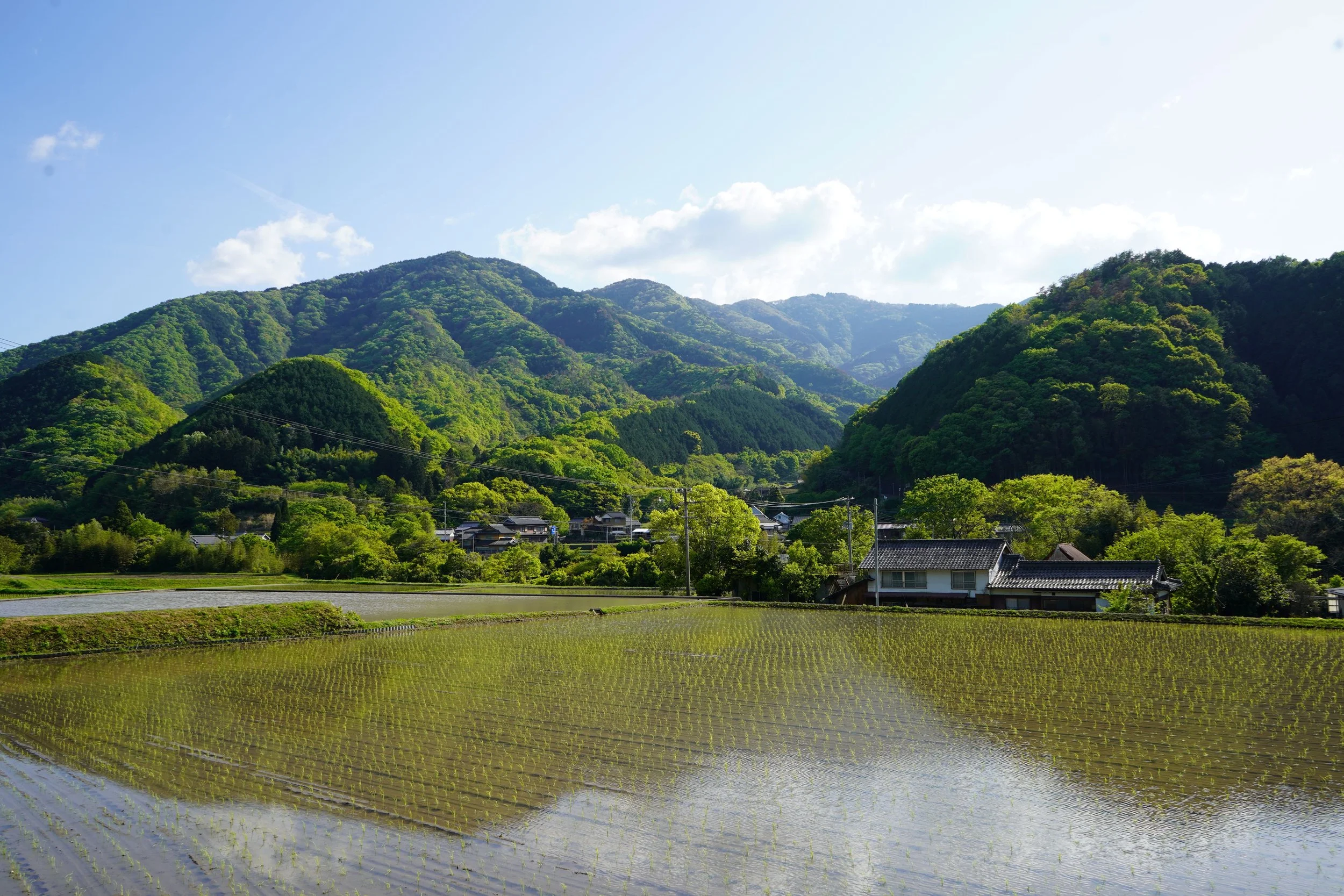
Daisenzan Mountain in spring
The Sanuki Mountains
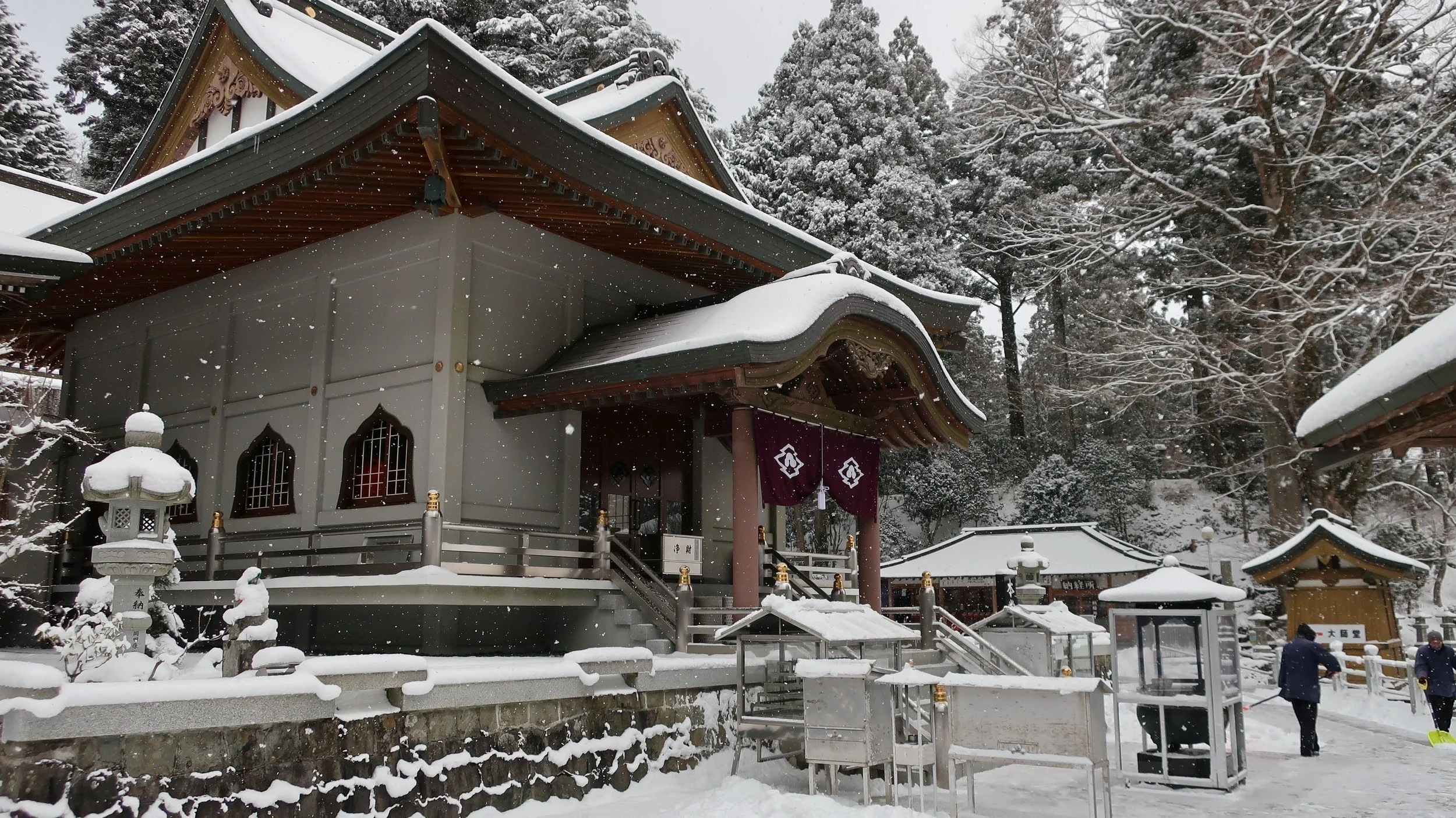
Unpenji Temple in winter
Access
Getting to Takamatsu City
The best place to start your adventure
Airplane
Train
Highway bus
From Tokyo
Airplane - Haneda/Narita airports to Takamatsu airport ~ 90 minutes
Train - Shinkansen to Takamatsu JR station ~ 5 to 5.5 hours
From Osaka
Highway bus ~ 3.5 hrs
Train - Shinkansen ~ 3 hrs
From Fukuoka
Train - Shinkansen ~ 3 to 3.5 hrs